Services
Boundary Survey
A boundary survey is performed on a parcel of land to determine its shape and acreage. The boundaries are located on the ground according to descriptions contained in deeds which convey the parcel. A plat (or map) is prepared to represent the parcel and typically reflects the locations of buildings, utilities, easements and encroachments.
Boundary Line Adjustment
In most cases, adjoining property owners who are in agreement may alter their parcels with a boundary line adjustment plat. This type of survey resolves conflicts in the descriptions of adjoining parcels. It may also be used to make physical improvements, such as buildings and driveways, conform to local government requirements.
Division Survey
Whether dividing a tract of land into a multi-lot subdivision or creating a parcel to develop or convey, a division survey and plat are required by the local government.
ALTA/ACSM Land Title Survey
An ALTA/ACSM survey is a boundary survey prepared to a set of minimum standards that have been jointly adopted by the The American Land Title Association and the American Congress on Surveying and Mapping. An ALTA/ACSM is principally used for developed commercial property and provides Title Insurance companies detailed information regarding improvements, easements, and other elements impacting ownership of land. The higher level of detail in an ALTA/ACSM survey is ideal for companies and corporations involved in acquisitions and refinancing.
Physical Improvement Survey
Mortgage lenders often require a physical survey (also referred to as a mortgage survey) of a parcel or lot prior to a loan commitment. Typically performed on residential properties, a physical survey notes all man-made features of the parcel and indicates any visible encroachment or encumbrance.
Foundation Survey
Lending institutions may require a foundation survey during construction to insure that the location of the new building foundation meets local government requirements.
Topographic Survey
The first step in the planning of most engineering projects is the preparation of a topographic map. Such a map is indispensable in designing residential and commercial sites, drainage systems, roadways, and landscape architecture. Topographic surveying determines the positions and elevations of natural and artificial features of a given area.
Construction Layout
Contractors typically rely on surveyors to layout improvements such as residential and commercial buildings, roadways and underground pipelines.
Mark Property Lines & Corners
A boundary line is established by determining its two end points and placing physical objects, such as flags, paint or stakes between them. Marking a line in such a way will benefit land owners, realtors, developers, timber companies, utility companies, and fence builders.
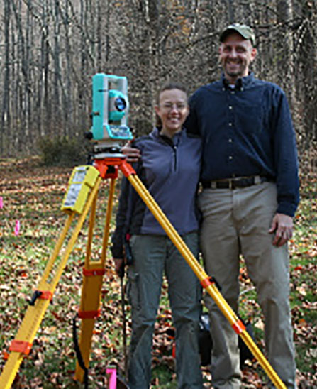
About Virginia Landcraft
Virginia Landcraft LLC is owned and operated by David and Kalmia Linke and was established in 2009. It is a licensed and insured land surveying company serving the Commonwealth of Virginia. We take great pride in our work, striving to provide our clients with a high quality product. We personally handle your project from initial consultation to deed research and field work to the final analysis and plat work. Our surveys are performed accurately, ethically, and in accordance with state and local regulations.